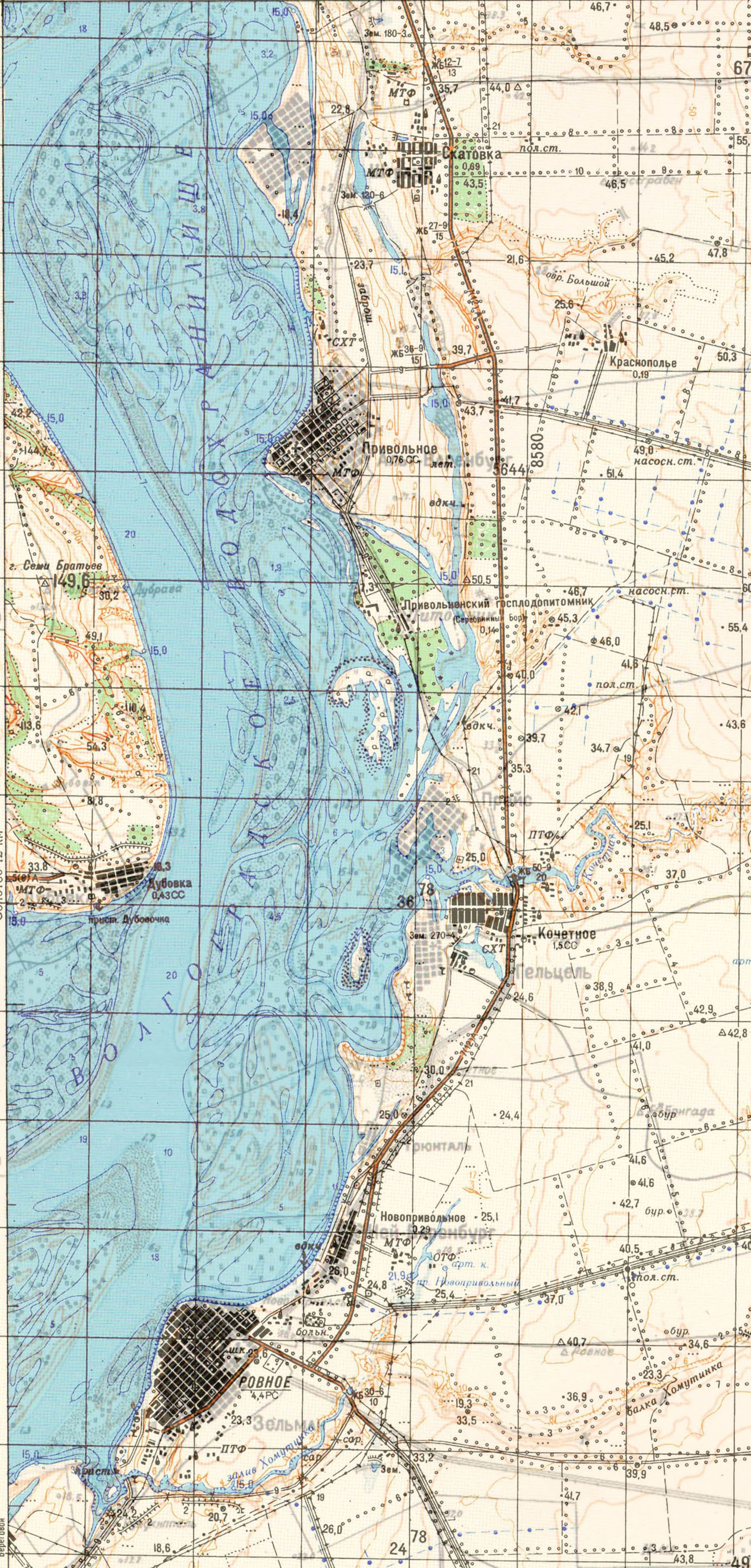
Originally there was a khutor (farmstead) called "Kellerstep" on this location. Neu-Warenburg was founded there in 1902/1903 on the left bank of the Volga River, 75 kilometers south of Engels, just north of Seelmann.
As of 1910, there were both a prayer house (Bethaus) and a primary school in the colony.
The construction of the Volgograd Hydroelectric Power Station in 1961 created the Volga Reservior. As a result, Neu-Warenburg is now on the bluff directly above the Volga River. The main road was relocated to the east side of the village.
Neu-Warenburg was founded as a Lutheran colony, and the parishners were served by the congregation in Warenburg. As of 1910, there was a prayer house (Bethaus) located in Neu-Warenburg. It was officially closed on 4 April 1935 by a Soviet decree.
|
Year
|
Households
|
Population
|
||
|---|---|---|---|---|
|
Total
|
Male
|
Female
|
||
| 1897 |
|
840
|
|
|
| 1910 |
|
873
|
|
|
| 1920 |
123
|
727
|
|
|
| 1922 |
|
532
|
|
|
| 1923 |
|
534
|
|
|
| 1926* |
119
|
604
|
280
|
324
|
| 1931 |
|
883
|
|
|
*Of whom 602 were German (118 households: 278 male & 324 female).
- Neu-Warenburg (wolgadeutsche.net) - in Russian
- Diesendorf, V.F. Die Deutschen Russlands : Siedlungen und Siedlungsgebiete : Lexicon. Moscow, 2006.
- Koch, Fred C. The Volga Germans: In Russia and the Americas, from 1763 to the Present (University Park: Pennsylvania State University Press, 1977): 313.
- Preliminary Results of the Soviet Census of 1926 on the Volga German Autonomous Soviet Socialist Republic (Pokrovsk, 1927): 28-83.
50.795333, 46.087
Migrated From
No results
Immigration Locations

Map showing Neu-Warenburg (1935).

Several maps overlaid to show the inundation of the Volga River following the construction of the Volgograd Dam in 1961.