Names
Dienerheim
Динергейм
Mother Colonies
History
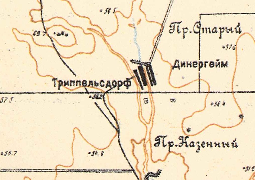
Dienerheim was a khutor (farmstead) located 15 kilometers east-northeast of the railroad station at Gmelinskaya on the Wiesenseite on the left bank of the Vodyanka River. Directly across from it is the khutor of Trippelsdorf.
Church
There was not a church in Dienerheim.
Population
|
Year
|
Households
|
Population
|
||
|---|---|---|---|---|
|
Total
|
Male
|
Female
|
||
| 1897 |
|
|
|
|
| 1910 |
|
|
|
|
| 1920 |
23*
|
161
|
|
|
| 1924 |
|
|
|
|
| 1926 |
28
|
180
|
90
|
90
|
| 1931 |
|
|
|
|
*Of which 22 were German.
External Links
- Dienerheim (wolgadeutsche.net) - in Russian
Sources
- Diesendorf, V.F. Die Deutschen Russlands : Siedlungen und Siedlungsgebiete : Lexicon. Moscow, 2006.
- Preliminary Results of the Soviet Census of 1926 on the Volga German Autonomous Soviet Socialist Republic (Pokrovsk, 1927): 28-83.
50.4, 47.133333
Migrated From
No results
Immigration Locations
Images

Map showing Dienerheim on the right side of the river (1935).