Niedermittlau, Kr. Main-Kinzig, Hessen

Today, Niedermittlau is administratively part of the municipality of Hasselroth.

Church:

The church in Niedermittlau is called Laurentiuskirche (St. Lawrence). The square church tower dates back to 1030. The building was heavily damaged during the Thirty Years' War. It was not until 1780 that the community was able to reconstruct the sanctuary from the ruins. The bell tower is capped with an eight-sided spire that houses the belfry and a clock. The balcony dates from the re-construction period.

The organ in Laurentiuskirche was installed in 1855 and was built by Ratzmann.

Names: 
Niedermittlau, Kr. Main-Kinzig, Hessen
Images: 

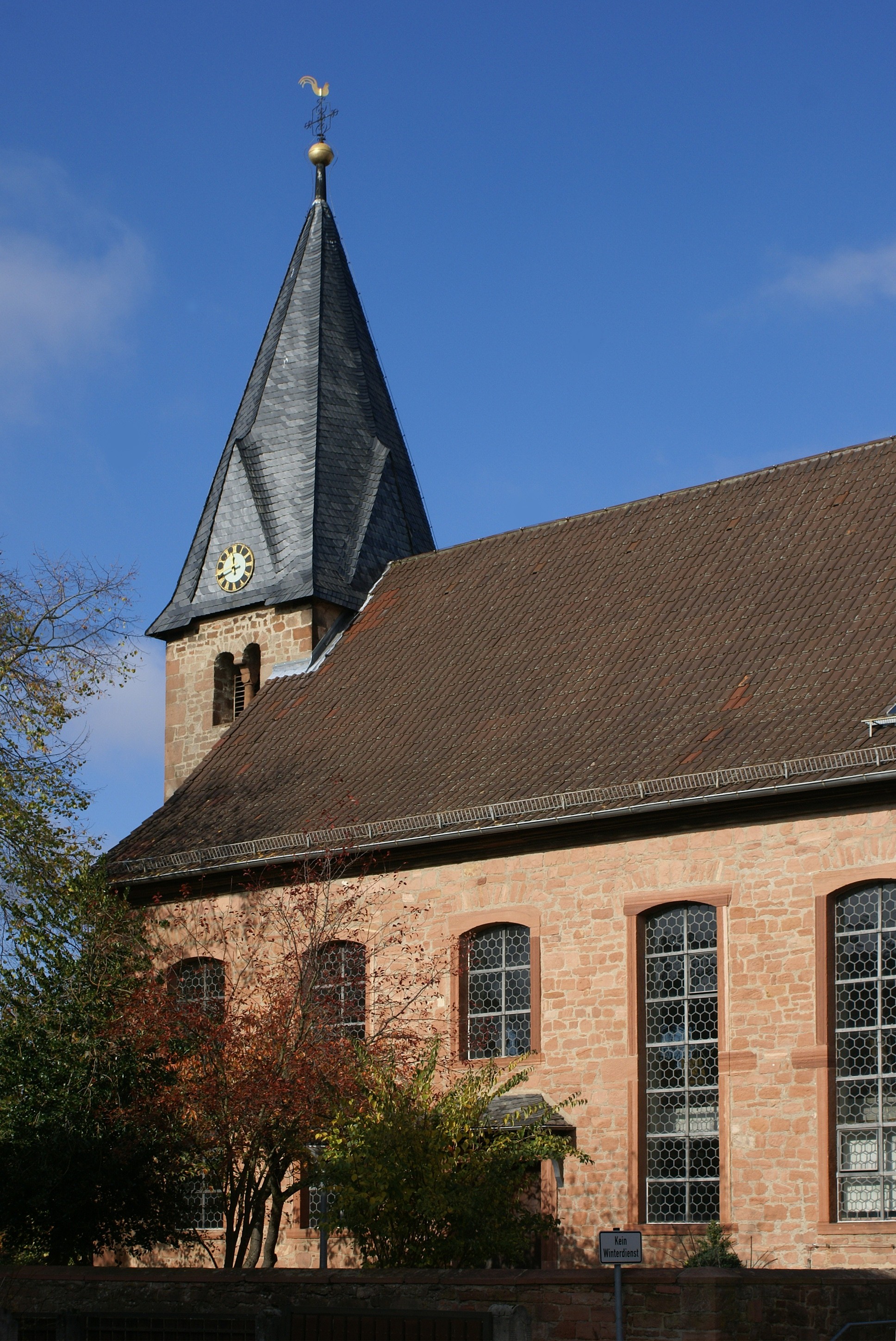
Evangelische Laurentiuskirche in Niedermittlau.
Source: Wikipedia Commons.

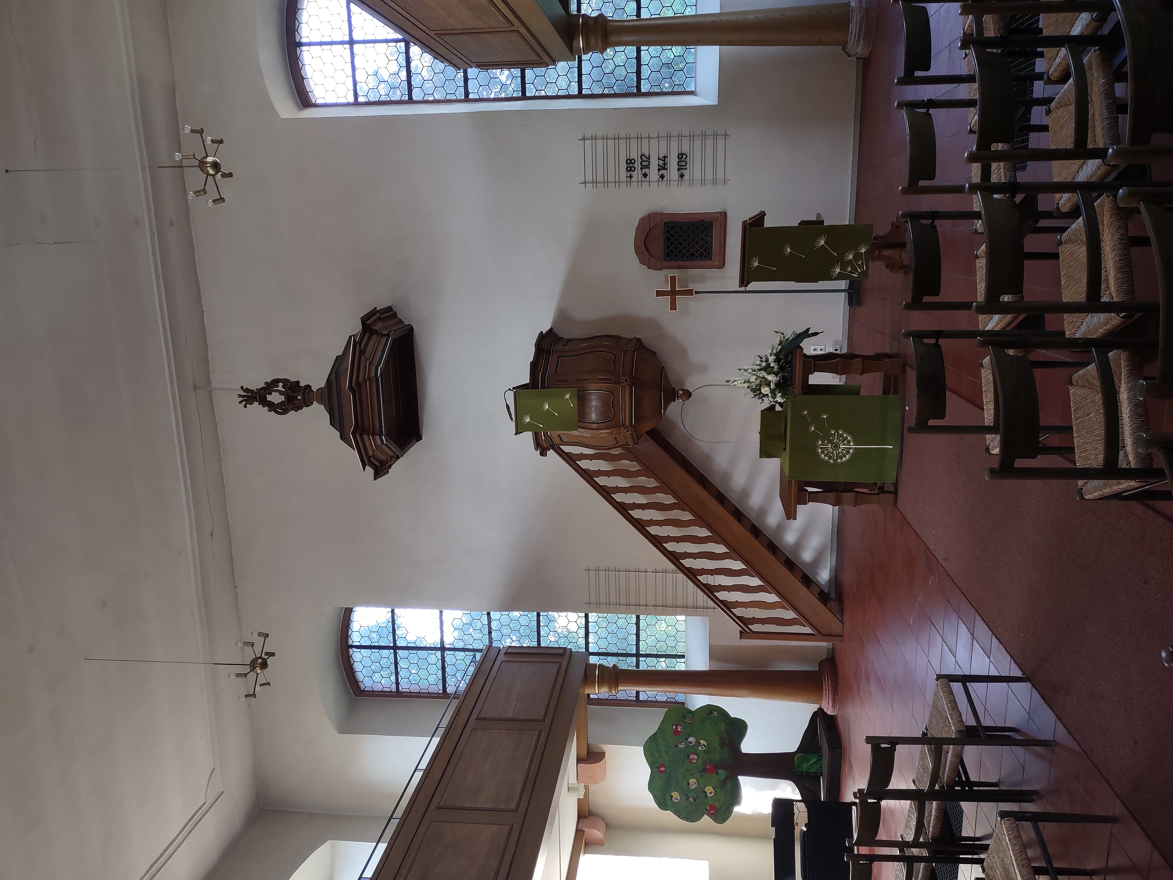
Interior of the church in Niedermittlau (2023).
Source: Brent Mai.

Pre-Volga Origin

Title: Moor
Latitude: 50.969667
Longitude: 45.698333
Title: Kolb
Latitude: 51.067667
Longitude: 44.958333
Title: Pobochnaya
Latitude: 51.912500
Longitude: 45.617333
Title: Moor
Latitude: 50.969667
Longitude: 45.698333
Title: Norka
Latitude: 51.165000
Longitude: 45.313333
Title: Walter
Latitude: 51.152333
Longitude: 44.804167
Title: Neu-Norka
Latitude: 50.338300
Longitude: 45.362200
Latitude: 50.933333
Longitude: 46.966667
Title: Messer
Latitude: 50.974667
Longitude: 45.551333
Title: Neu-Walter
Latitude: 51.254229
Longitude: 44.570262
Title: Stephan
Latitude: 50.538333
Longitude: 45.640333
Title: Gnadentau
Latitude: 50.504833
Longitude: 46.518833
Title: Norka
Latitude: 51.165000
Longitude: 45.313333