In 1528, Spachbrücken became part of the fief belonging to the Lords of Löwenstein-Wertheim. It remained affiliated with this family until 1805.
Today, Spachbrücken is administratively part of the municipality of Reinheim.
Church:
There has been a church on the present site in Spachbrücken since before 1513 when the parish was Roman Catholic. In 1526, this area became Lutheran during the Reformation. Today, the parish is part of the Evangelischen Kirche in Hessen und Nassau.
The church building is older than 1513 because there is a note in the parish register about a new bell being installed in the church tower in that year. It was heavily damaged during the Thirty Years' War in 1724. It was renovated by the Counts of Löwenstein, but destroyed again on 26 May 1749 when lightening struck the roof. A new building (the current one) was dedicated in May 1755, but only the baptismal font and the bell from 1513 were installed from the former structure.
The building is a simple hall church with balconies on three sides. A baroque ceiling painting was uncovered during the 1970 restoration of the building. The organ (by Johann Christian II Dauphin) dates from 1760, and after changes in 1839 now has a total of nine registers with one manual and pedals. It was restored by Andreas M. Ott in 1973.
- Evangelische Kirche (Spachbrücken) (German Wikipedia)
- Spachbrücken (Meyers Gazetteer)
- Spachbrücken (German Wikipedia)
- Spachbrücken, Deutschland (Hessen) - Evangelische Kirche (Orgeldatabase)

Lutheran Church in Spachbrücken.
Source: Wikimedia Commons.

Interior of the Lutheran Church in Spachbrücken (Confirmation, May 2022).
Source: Parish Facebook Page.
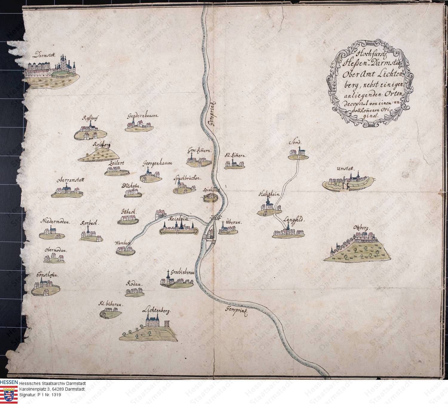
Karte des Oberamtes Lichtenberg (1750).
Source: Hessisches Staatsarchiv Darmstadt [Online].