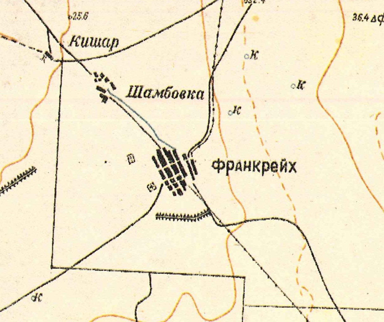
Frankreich was founded in 1861 by Lutheran colonists resettling from Galka, Shcherbakovka, and Schwab, but there were already German colonists living there before that time. It is 6 miles northwest of the Russian town of Pallasovka on the left bank of the Solyanka River.
In 1888, 62.5% of the population was considered literate. In the colony at that time were 97 houses built of wood, 27 built of adobe, and 70 built of brick along with 9 commercial and industrial establishments and 1 drinking establishment. The settlers had 40 iron plows, 6 winnowers, 462 work horses, 122 oxen, 263 dairy cows, 816 sheep, 6 goats, and 248 pigs.
Following the 1941 deportation of the Volga Germans, Frankreich was given the name of Solyanka after the river nearby.
The congregation in Frankreich belonged to the parish headquartered in nearby Alt-Weimar.
|
Year
|
Households
|
Population
|
||
|---|---|---|---|---|
|
Total
|
Male
|
Female
|
||
| 1857 |
|
|
58
|
|
| 1888 |
76
|
544
|
272
|
272
|
| 1897 |
|
749*
|
369
|
380
|
| 1908 |
178
|
806
|
413
|
393
|
| 1910 |
117
|
1,032
|
534
|
498
|
| 1912 |
|
1,000
|
|
|
| 1920 |
188**
|
1,294
|
|
|
| 1922 |
|
1,367
|
|
|
| 1926 |
184
|
1,081
|
508
|
573
|
| 1931 |
|
1,951***
|
|
|
*Of whom 740 were German.
**Of which 886 were German households.
***Of whom 1,670 were German.
Frankreich (wolgadeutsche.net) in Russia
- Diesendorf, V.F. Die Deutschen Russlands : Siedlungen und Siedlungsgebiete : Lexicon. Moscow, 2006.
- Koch, Fred C. The Volga Germans: In Russia and the Americas, from 1763 to the Present (University Park: Pennsylvania State University Press, 1977): 312.
- Preliminary Results of the Soviet Census of 1926 on the Volga German Autonomous Soviet Socialist Republic (Pokrovsk, 1927): 28-83.
- Schnurr, Joseph. Die Kirchen und das religiöse Leben der Russlanddeutschen – Evangelischer Teil (Stuttgart: AER Verlag Landsmannschaft der Deutschen aus Rußland, 1978): 198.
- "Settlements in the 1897 Census." Journal of the American Historical Society of Germans from Russia (Winter, 1990): 17.
50.1245, 46.577
Migrated From
Immigration Locations

Map showing Frankreich (1935).