Schönfeld was founded on the left bank of the Yeruslan River in 1858 by 521 colonists resettling from the colony of Pobochnaya.
During the famine of 1921, 197 people died in Schönfeld.
Following the deportation of the Volga Germans in 1941, the settlement became known as Polyanka.
Today, nothing remains of the former Volga German settlement of Schönfeld.
Schönfeld was a Lutheran and Reformed colony, but most of the colonists were of the Reformed faith. It was part of a parish that also included the neighboring colonies of Schöndorf and Schöntal.
During the first 40 years after the colony was founded, the colonists held worship services in a prayer house. The first wooden church structure was built in 1901. A large wooden belfry was constructed near the church.
|
Year
|
Households
|
Population
|
||
|---|---|---|---|---|
|
Total
|
Male
|
Female
|
||
| 1859 |
|
515
|
|
|
| 1883 |
|
791
|
|
|
| 1889 |
|
863
|
|
|
| 1897 |
|
1,109*
|
565
|
544
|
| 1905 |
|
1,510
|
|
|
| 1910 |
|
1,922
|
|
|
| 1912 |
|
2,000
|
|
|
| 1920 |
245
|
1,520
|
|
|
| 1922 |
|
1,032
|
|
|
| 1926 |
204
|
943
|
454
|
489
|
| 1931 |
|
1,226**
|
|
|
*Of whom 1,103 were German.
**Of whom 1,205 were German.
- Diesendorf, V.F. Die Deutschen Russlands : Siedlungen und Siedlungsgebiete : Lexicon. Moscow, 2006.
- Koch, Fred C. The Volga Germans: In Russia and the Americas, from 1763 to the Present (University Park: Pennsylvania State University Press, 1977): 313.
- Preliminary Results of the Soviet Census of 1926 on the Volga German Autonomous Soviet Socialist Republic (Pokrovsk, 1927): 28-83.
- "Settlements in the 1897 Census." Journal of the American Historical Society of Germans from Russia (Winter, 1990): 18.
51.125, 47.366667
Migrated From
Immigration Locations

Map showing Schönfeld (1935).

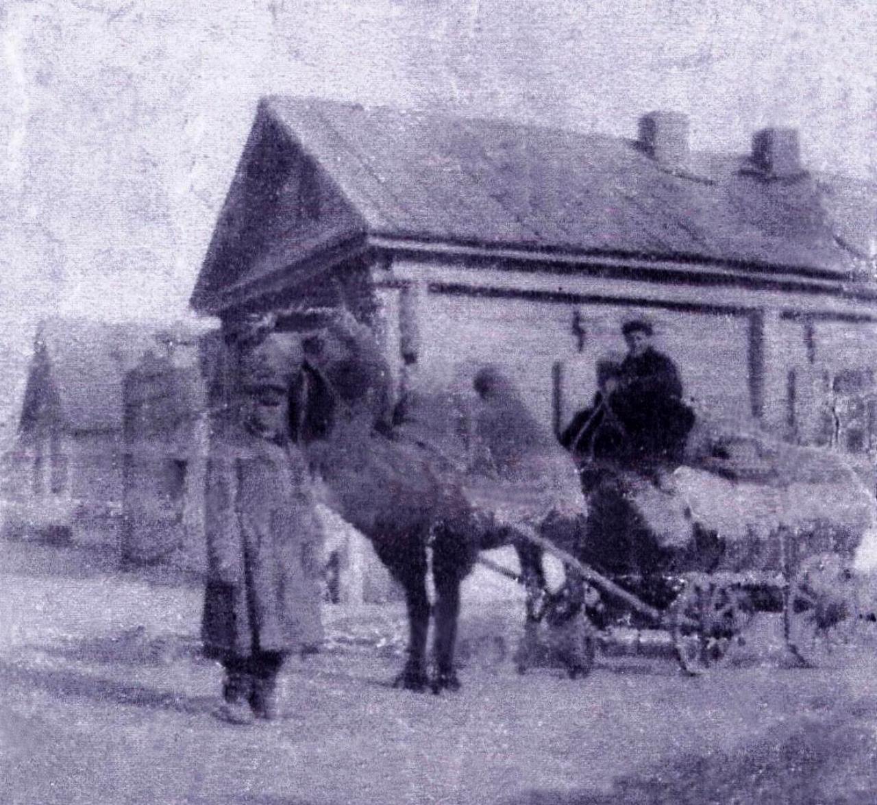
Herdt family in Schönfeld bringing goods to their butcher’s shop (in the background) by camel-drawn wagon (1908).
Source: Laurin Wilhelm.