On 27 November 1857, 7 families from the colony of Balzer founded the daughter colony of Wiesenmüller. They were joined on 10 December 1857 by 32 families from the villages of Franzosen, Moor, and Grimm. The following year, on January 23, an additional 75 families from Galka, Shcherbakovka, Stephan, Müller, Schwab, and Holstein arrived.
After the 1941 deportation of the Volga Germans, the village became known by the name Lugovskoi. Today, what remains of the former Volga German settlement is called Lugovskoye.
There was a large Lutheran church built in Wiesenmüller. It was completely dismantled during the Soviet era.
|
Year
|
Households
|
Population
|
||
|---|---|---|---|---|
|
Total
|
Male
|
Female
|
||
| 1858 |
|
770
|
|
|
| 1883 |
|
2,526
|
|
|
| 1888 |
398
|
2,644
|
1,323
|
1,321
|
| 1891 |
|
|
|
|
| 1894 |
|
|
|
|
| 1897 |
|
2,969*
|
1,471
|
1,498
|
| 1904 |
|
4,366
|
|
|
| 1908 |
420
|
4,896
|
2,519
|
2,377
|
| 1910 |
379
|
5,207
|
2,630
|
2,577
|
| 1912 |
|
|
|
|
| 1920 |
498
|
3,223
|
|
|
| 1922 |
|
2,594
|
|
|
| 1923 |
|
2,469
|
|
|
| 1926** |
530
|
2,918
|
1,388
|
1,530
|
| 1931 |
|
3,399***
|
|
|
*Of whom 2,947 were German.
**Of whom 2,890 (1,373 male & 1,517 female) were German living in 521 households.
***Of whom 3,370 were German.
Wiesenmuller (Jeruslan Nachrichten)
Wiesenmüller (wolgadeutsche.net) [in Russian]
Wiesenmüller Verwandtschafen (Betty Ashley)
- Diesendorf, V.F. Die Deutschen Russlands : Siedlungen und Siedlungsgebiete : Lexicon. Moscow, 2006.
- Preliminary Results of the Soviet Census of 1926 on the Volga German Autonomous Soviet Socialist Republic (Pokrovsk, 1927): 28-83.
- "Settlements in the 1897 Census." Journal of the American Historical Society of Germans from Russia (Winter, 1990): 16.
50.636167, 46.4745
Migrated From
Immigration Locations

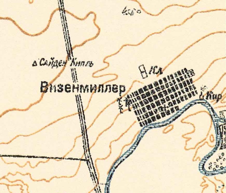
Map showing Wiesenmüller (1935).

Wiesenmüller church.

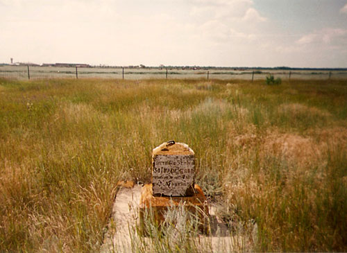
Grave Marker in former Wiesenmüller cemetery.
It reads: "hier ruft in Frieden Jakob Heffmann, geborne Dezember 1874, gestorben den... [1916?]"
Source: Sue Kottwitz (1993).

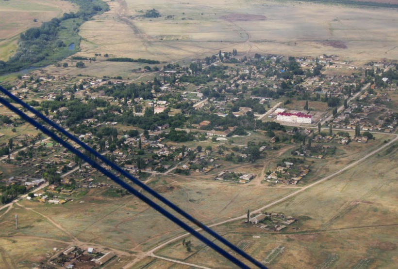
Wiesenmüller from the air.
Source: wolgadeutsche.net.