Volmer was founded on 18 July 1766 by colonists recruited by Barton de Boffe. There were 47 founding families that came from Mainz, the Pfalz, and Trier. It was named after the first mayor (Vorsteher) of the colony, Nikolaus Volmer.
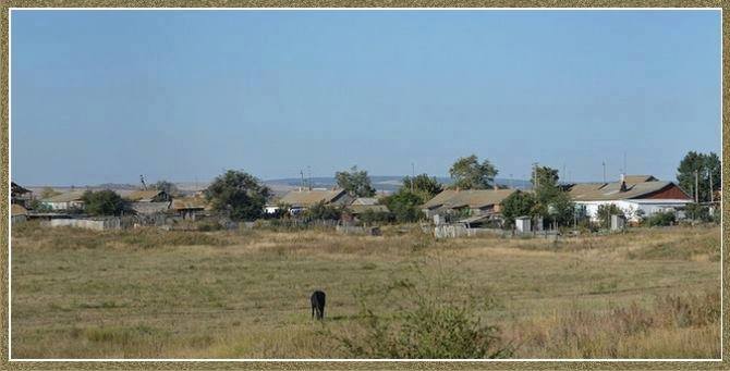
Today, what remains of the former Volga German colony of Volmer is known as Lugovoye.
Until 1874, the Roman Catholic congregation in Volmer was part of the Kamenka Parish. From 1875 to 1903, it was part of the Schuck Parish. Volmer became an independent parish in 1904.
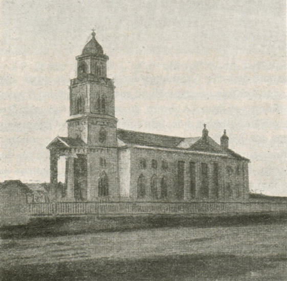
A wooden church was built in Volmer in 1859 and dedicated to St. Michael the Archangel. The church was closed in approximately 1928. Today, nothing remains of this structure.
The parish of Volmer was served by the following priests:
- Peter Glaßmann (1904, 5 months)
- Michael Brungardt (1909-1914)
- Jakob Feser (?-1926)
- Markus Marsal (1926)
- Josef Paul, Sr. (1927)
- Josef Beilmann (1928-1930/1931)
|
Year
|
Households
|
Population
|
||
|---|---|---|---|---|
|
Total
|
Male
|
Female
|
||
| 1767 |
47
|
158
|
80
|
78
|
| 1769 |
47
|
177
|
95
|
82
|
| 1773 |
47
|
221
|
111
|
110
|
| 1788 |
45
|
273
|
140
|
133
|
| 1798 |
49
|
331
|
168
|
163
|
| 1816 |
69
|
421
|
215
|
206
|
| 1834 |
101
|
746
|
376
|
370
|
| 1850 |
116
|
1,122
|
586
|
536
|
| 1857 |
126
|
1,170
|
587
|
583
|
| 1859 |
86
|
1,183
|
588
|
595
|
| 1886 |
213
|
1,777
|
921
|
856
|
| 1891 |
193
|
2,287
|
1,183
|
1,104
|
| 1894 |
241
|
2,308
|
1,209
|
1,099
|
| 1897 |
|
1,555*
|
798
|
757
|
| 1905 |
|
1,452
|
|
|
| 1911 |
|
1,775
|
|
|
| 1912 |
|
1,715
|
|
|
| 1920 |
291
|
1,867
|
|
|
| 1922 |
|
1,212
|
|
|
| 1926** |
275
|
1,565
|
763
|
802
|
| 1931 |
|
1,762
|
|
|
*Of whom 1,550 were German.
**Of whom 1,555 were German (270 households: 753 male & 802 female).
Volmer Kopenka (Cathy Hawinkels)
Volmer, Russia - Kopenka (Angela Gartner)
Volmer (wolgadeutsche.net) in Russian
- Beratz, Gottieb. The German colonies on the Lower Volga, their origin and early development: a memorial for the 150th anniversary of the arrival of the first German settlers on the Volga, 29 June 1764. Translated by Adam Giesinger (Lincoln, NE: American Historical Society of Germans from Russia, 1991): 353.
- Diesendorf, V.F. Die Deutschen Russlands : Siedlungen und Siedlungsgebiete : Lexicon. Moscow, 2006.
- Mink, A.N. Historical and Geographical Dictionary of the Saratov Province [in Russian] (Saratov, Russia, 1898): 503-506.
- Orlov, Gregorii. Report of Conditions of Settlements on the Volga to Catherine II, 14 February 1769.
- Pallas, P.S. Reise durch verschiedene Provinzen des Russischen Reichs. Theil 3,2, Reise aus Sibirien zurueck an die Wolga im 1773sten Jahr (St. Petersburg: Kaiserl. Academie der Wissenschaften, 1776): 623.
- Preliminary Results of the Soviet Census of 1926 on the Volga German Autonomous Soviet Socialist Republic (Pokrovsk, 1927): 28-83.
- Schnurr, Joseph, Die Kirchen und das Religiöse Leben der Russlanddeutschen - Katholischer Teil (Stuttgart: Selbstverlag Joseph Schnurr, 1980): 250.
- "Settlements in the 1897 Census." Journal of the American Historical Society of Germans from Russia (Winter, 1990): 18.
50.732433, 45.443279
Migrated From
Immigration Locations

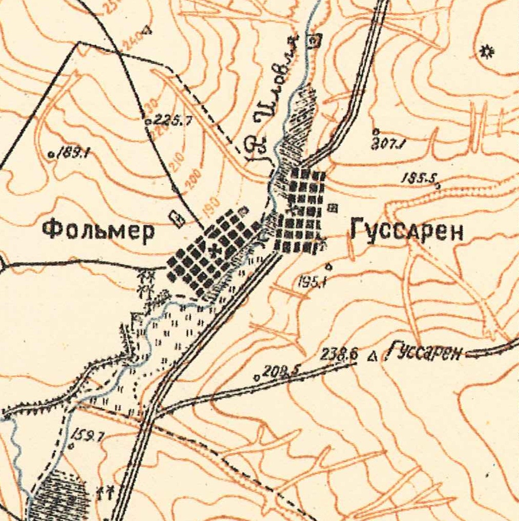
Map showing Volmer - on the left (1935).

St. Michael the Archangel Catholic Church in Volmer.
Source: Heimatbuch der Deutschen aus Rußland, 1972.

The former colony of Volmer (2017).
Source: Barry Schroh.