Neu-Messer was founded on the banks of the Kopenka Creek in 1863 by colonists from Messer. It was also known as Lysanderdorf, a name derived from Mr. Lysander who worked in the Office of Foreign Settlers. [Klaus erroneously records that the colony was known as Neu-Maier/Neu-Meier.]
There were many colonists (182 people as of 1887) engaged in the sarpinka weaving industry. In 1883 and again in 1887, a plague wiped out most of the cattle in the colony.
Since the founding of the colony, there has been a parochial school in Neu-Messer. A government school was begun in 1894.
Immigration from Neu-Messer to America began in 1876.
The Lutheran congregation in Neu-Messer belonged to the parish headquartered in Norka where there was a resident pastor.
|
Year
|
Households
|
Population
|
||
|---|---|---|---|---|
|
Total
|
Male
|
Female
|
||
| 1886 |
149
|
1,320
|
693
|
627
|
| 1891 |
155
|
1,855
|
972
|
883
|
| 1894 |
168
|
1,905
|
982
|
923
|
| 1897 |
|
1,388*
|
710
|
678
|
| 1904 |
|
|
|
|
| 1911 |
|
1,983
|
|
|
| 1920 |
|
2,303
|
|
|
| 1922 |
|
2,121
|
|
|
| 1926 |
|
2,326**
|
|
|
| 1931 |
|
2,568
|
|
|
*Of whom 1,387 were German.
**Of whom 2,323 were German.
Neu-Messer (Wolgadeutche.net)
- Klaus, A. Our Colony [in Russian] (St. Petersburg, 1869), XI.
- Koch, Fred C. The Volga Germans: In Russia and the Americas, from 1763 to the Present (University Park: Pennsylvania State University Press, 1977): 311.
- Mink, A.N. Historical and Geographical Dictionary of the Saratov Province [in Russian] (Saratov, Russia, 1898): 664-667.
- "Settlements in the 1897 Census." Journal of the American Historical Society of Germans from Russia (Winter, 1990): 18.
51.053088, 45.104377
Migrated From
Immigration Locations

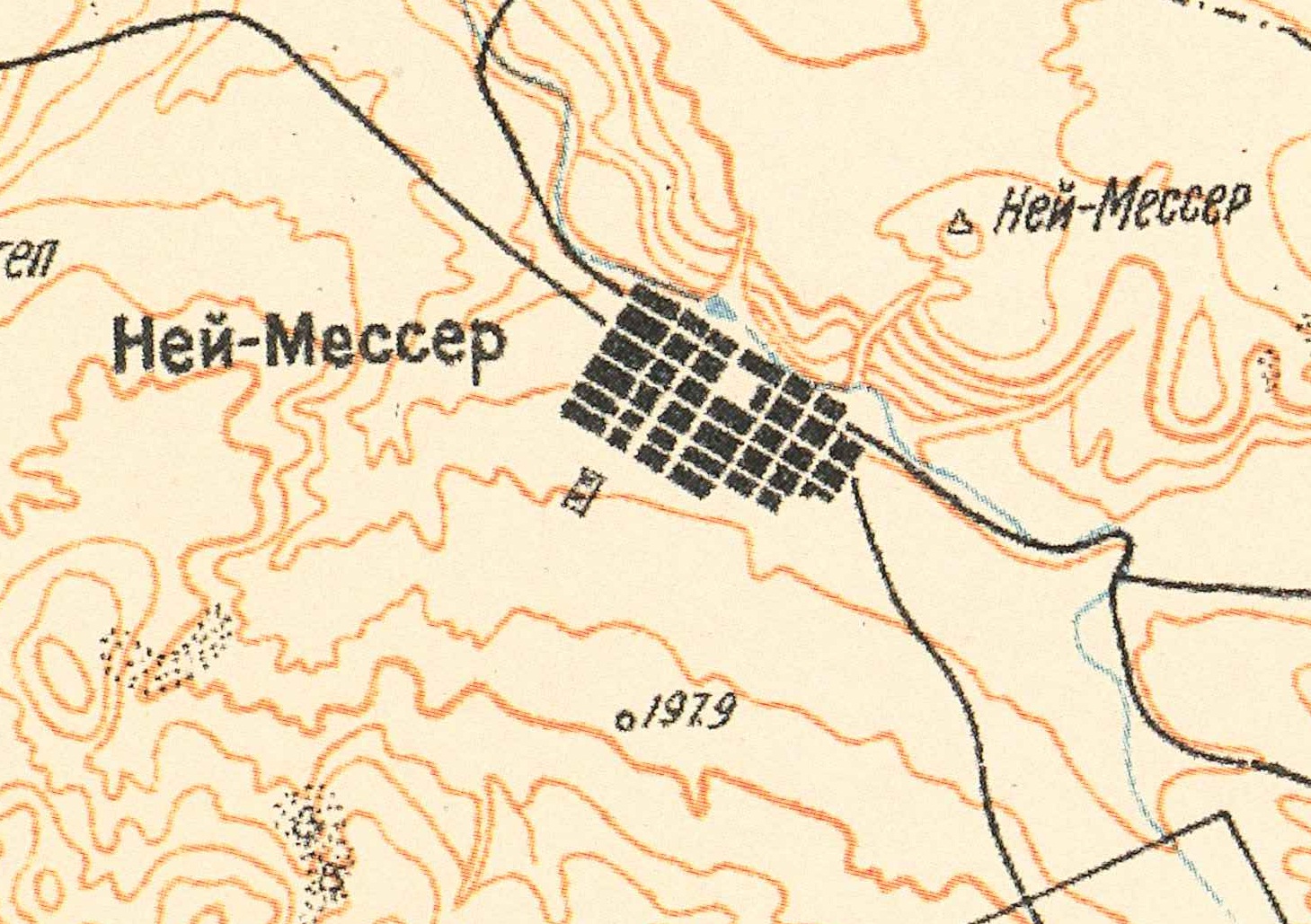
Map showing Neu-Messer (1935).

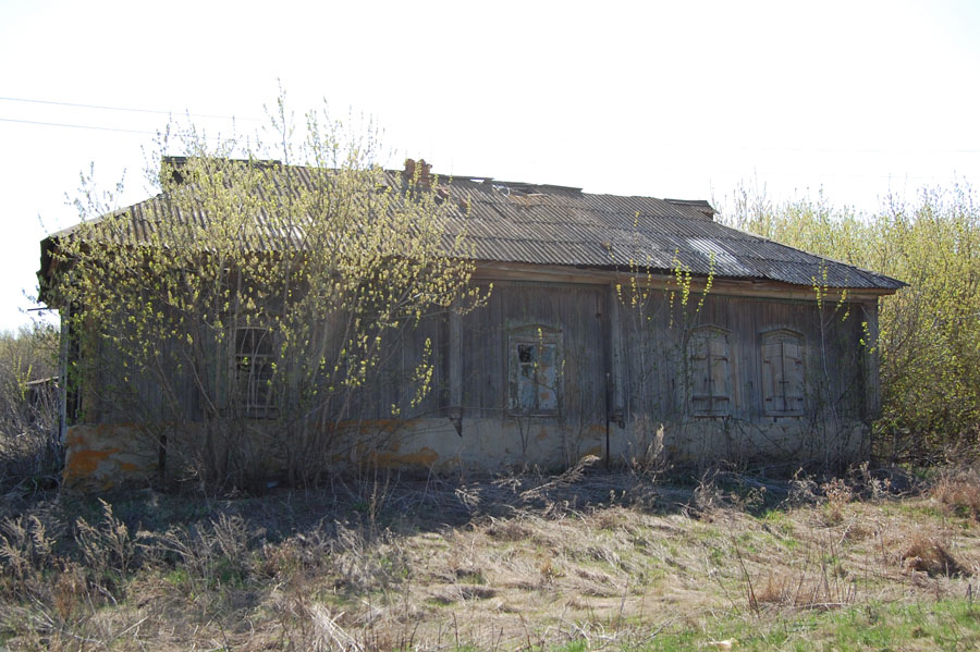
House in Neu-Messer (2009).
Source: Georgi Spach.