The village of Munjor, Kansas, was founded in 1876. Munjor was first located along Big Creek, but after a couple of months was moved to its present location in Section 25 of Wheatland Township.
The following are recorded by Fr. Laing as founders of Munjor (followed by the number of people in the household):
from Ober-Monjou
- Jacob Engel
- John Berg (5)
- Franz Leiker (4)
- Henry Leiker (4)
- Jacob Leiker (4)
- Joseph Leiker (7)
- Joseph Leiker (3)
- Konrad Leiker (3)
- Michael Leiker (4)
- Nicholas Leiker (4)
- Peter Leiker (6)
from Wittmann
- John Dechant (4)
- John Herl (6)
- Henry Miller (2)
- Henry Ruder (7)
- Stanislaus Ruder (3)
- Joseph Schreibvogel
- Anton Schumacher (5)
- George Schumacher (3)
- Henry Schumacher (4)
- Catharine Schumacher, widow (5)
from Mariental
- Nicholas Eberle (6)
- Peter Gross (5)
- Matthias Rohr (6)
- Peter Rohr (4)
from Schönchen
- Anton Wasinger (8)
- Anton Wasinger, Jr. (4)
from Zug
- Anton Schneider (5)
- Peter Stöcklein (7)
from Herzog
- John Götz
They were joined in November 1876 by another group from Ober-Monjou:
- Anton Befort (3)
- Konrad Befort (3)
- Michael Graf
- Christian Hertl
- John Klaus (3)
- John Krannawitter
- Jacob John Leiker (4)
- Jacob Pfannenstiel
- Laing, Francis S. "German-Russian Settlements in Ellis County, Kansas." Kansas Historical Collections 11 (1910): 489-528. [Online]
Saint Francis Cemetery (findagrave.com)
- Munjor
- Munjor, Kansas (German Capital of Kansas)
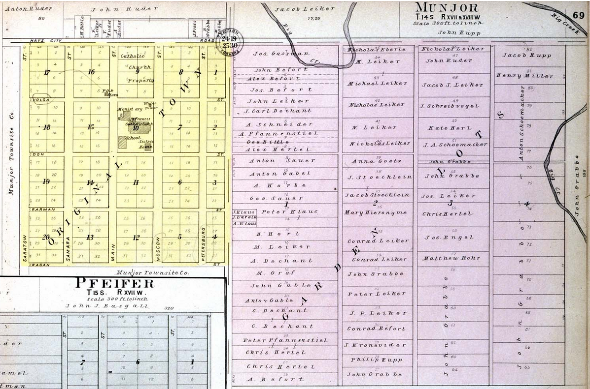
Munjor, Kansas (1905)
Source: Standard Atlas of Ellis County Kansas (Kansas Historical Society)
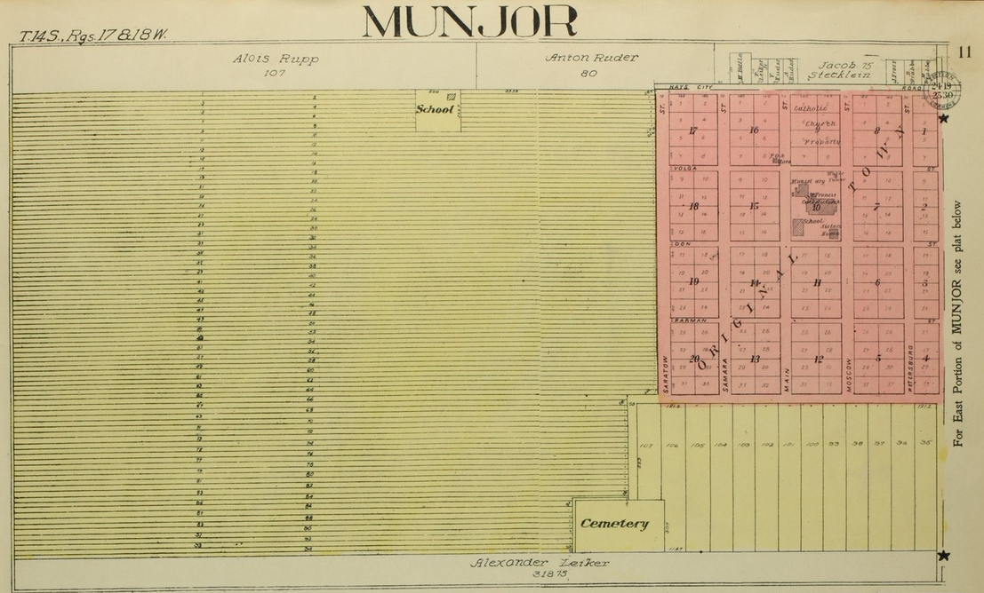
Munjor, Kansas - west side (1922)
Source: Standard Atlas of Ellis County Kansas (Kansas Historical Society)
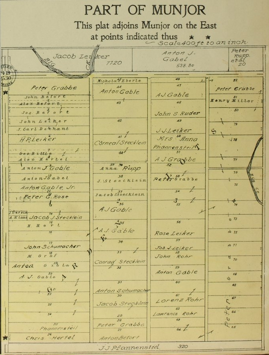
Munjor, Kansas - east side (1922)
Source: Standard Atlas of Ellis County Kansas (Kansas Historical Society)
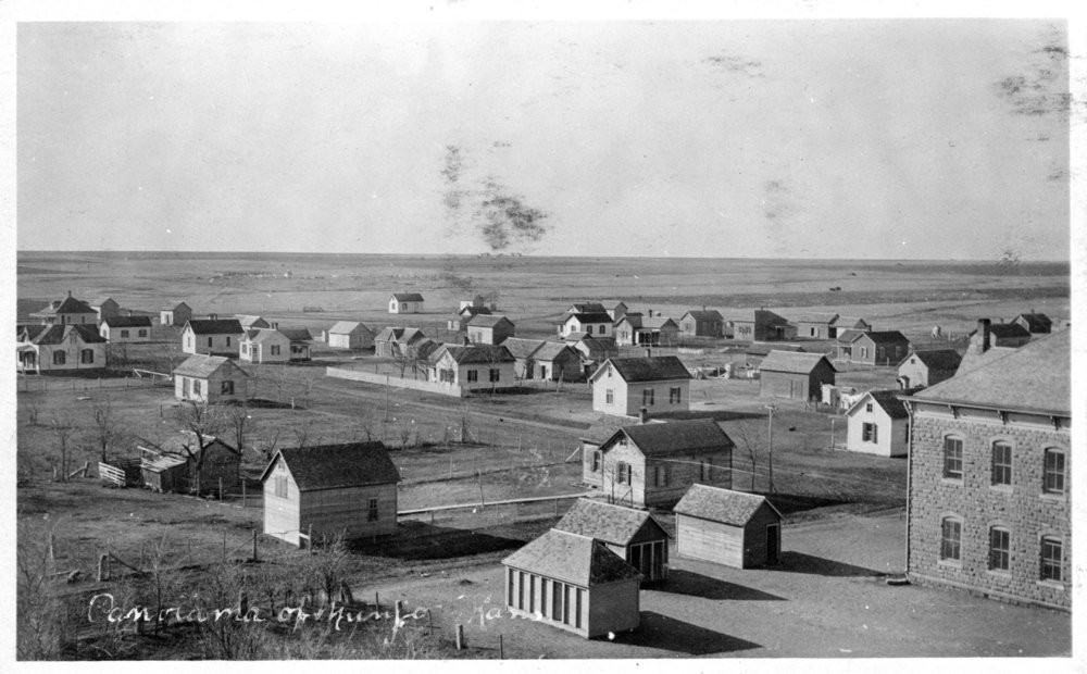
Munjor, Kansas - circa 1900.
Source: Kansas Historical Society.