Beauregard was founded on 27 August 1766 by 67 families from the Anhalt-Zerbst and Frankfurt regions of present-day Germany. They had been recruited by Baron Caneau de Beauregard. It is after him that the colony received its name. An official decree on 26 February 1768 recognized Beauregard as the official name of the colony.
In 1915, the colony was renamed Buyerak. Today, the former colony of Beauregard is known as Privolzhskoye.
Beauregard was founded as a Lutheran colony, although there were some Roman Catholic colonists who settled there originally.
The Lutheran parish belonged originally to the southern parish of Katharinenstadt. In 1905, it became part of the parish headquartered in Paulskaya.
A prayer house (Bethaus) was constructed in the colony during the early years. It served as both a school and church. A Lutheran church was built out of wood from 1823-1828. A belfry was constructed near the church.
The Catholic colonists who lived in Beauregard belonged to the Roman Catholic parish which was also located in Katharinenstadt.
|
Year
|
Households
|
Population
|
||
|---|---|---|---|---|
|
Total
|
Male
|
Female
|
||
| 1767 |
67*
|
174
|
94
|
80
|
| 1769 |
60
|
196
|
105
|
91
|
| 1773 |
53
|
204
|
104
|
100
|
| 1788 |
37
|
168
|
92
|
76
|
| 1798 |
45
|
241
|
126
|
125
|
| 1816 |
49
|
365
|
183
|
182
|
| 1834 |
77
|
610
|
313
|
297
|
| 1850 |
106
|
869
|
432
|
437
|
| 1857 |
114
|
969
|
485
|
484
|
| 1859 |
116
|
848
|
446
|
402
|
| 1886 |
|
|
|
|
| 1889 |
|
1,369
|
|
|
| 1894 |
|
|
|
|
| 1897 |
|
1,608
|
825
|
783
|
| 1904 |
|
1,707
|
|
|
| 1907 |
|
2,071
|
|
|
| 1910 |
350
|
2,366
|
1,164
|
1,202
|
| 1912 |
|
2,484
|
|
|
| 1920 |
326**
|
2,217
|
|
|
| 1922 |
|
1,306
|
|
|
| 1926*** |
261
|
1,363
|
673
|
690
|
| 1931 |
|
2,087
|
|
|
*An additional 85 households were included in the 1767 census of Beauregard who were destined to be settled in other colonies the following year.
**Of which 325 households were German.
***Of whom 1,359 (670 male & 689 female) were German living in 260 households.
Beauregard (Wolgadeustche.net) in Russia
- Beratz, Gottieb. The German colonies on the Lower Volga, their origin and early development: a memorial for the 150th anniversary of the arrival of the first German settlers on the Volga, 29 June 1764. Translated by Adam Giesinger (Lincoln, NE: American Historical Society of Germans from Russia, 1991): 348.
- Diesendorf, V.F. Die Deutschen Russlands : Siedlungen und Siedlungsgebiete : Lexicon. Moscow, 2006.Dietz, Jacob E. History of the Volga German Colonists. Lincoln, NE: American Historical Society of Germans from Russia, 2005.
- Klaus, A.A. Our Colonies (Saint Petersburg, Russia, 1869): 2:13; 4:54-55.
- List of the Populated Places of the Samara Province (Samara, Russia, 1910): 261.
- Orlov, Gregorii. Report of Conditions of Settlements on the Volga to Catherine II, 14 February 1769.
- Pallas, P.S. Reise durch verschiedene Provinzen des Russischen Reichs. Theil 3,2, Reise aus Sibirien zurueck an die Wolga im 1773sten Jahr (St. Petersburg: Kaiserl. Academie der Wissenschaften, 1776): 613.
- Pleve, Igor. Einwanderung in das Wolgagebiet, 1764-1767 Band 1 (Göttingen: Der Göttinger Arbeitskreis, 1999): 177-214.
- Preliminary Totals of the All-Union Population Census of 1926 for the Volga German ASSR (Pokrovsk, Russia, 1927): 28-83.
- "Settlements in the 1897 Census." Journal of the American Historical Society of Germans from Russia (Winter, 1990): 16.
- Stumpp, Karl. Die Auswanderung aus Deutschland nach Rußland in den Jahren 1763 bis 1862 (Landsmannschaft der Deutschen aus Rußland, 2004): 68.
51.691343, 46.723051
Migrated From
Immigration Locations


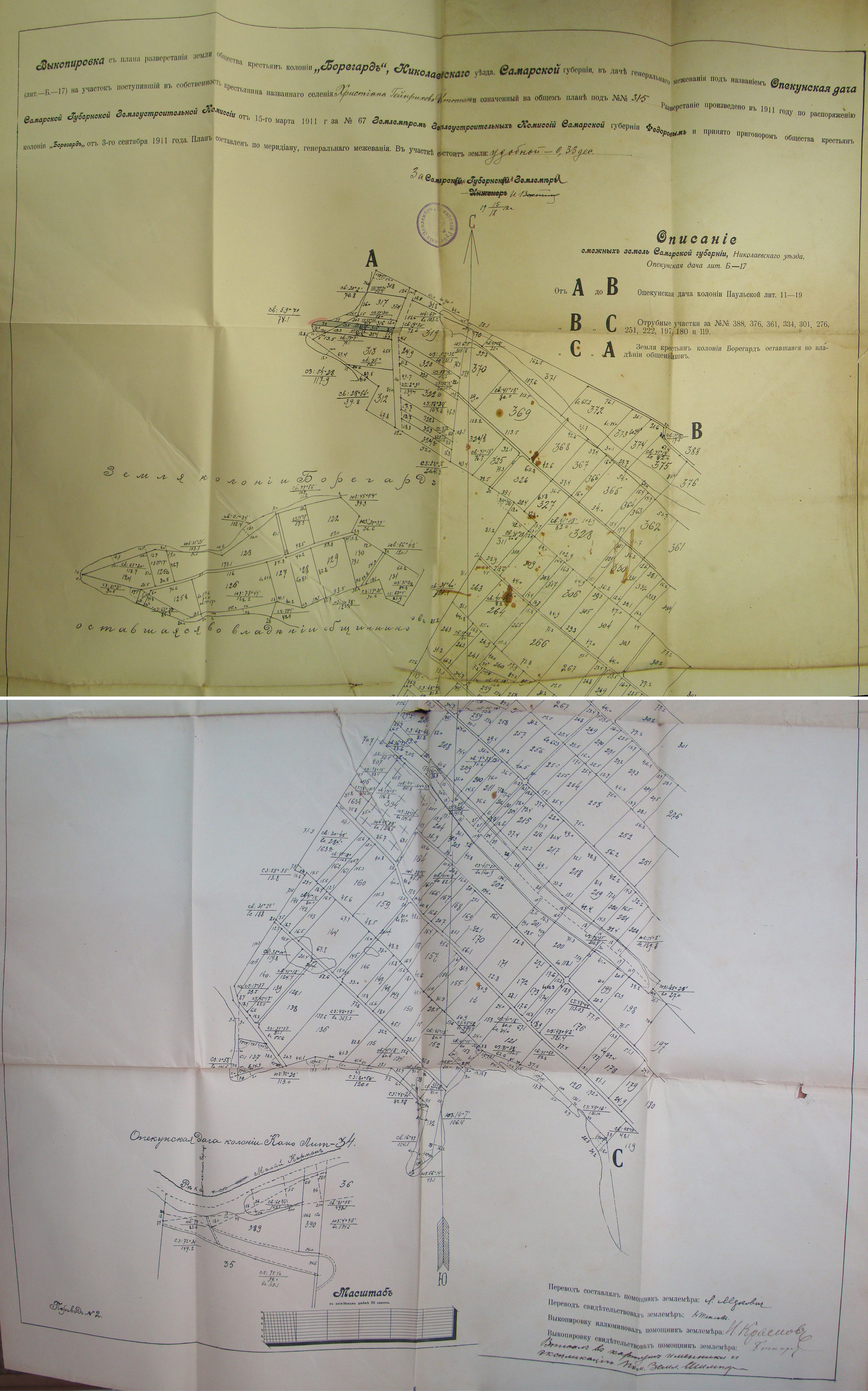
Map showing the land plots for Beauregard (1911).
Source: Vladimir Kakorin.

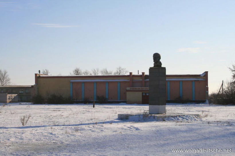
Location of the former church in Beauregard (2010).
Source: E. Moshkova via wolgadeutsche.net