Kutter was founded at the confluence of the Popovka and Karamysh Rivers on 8 July 1767 by colonists who had been recruited by agents of the Russian Government.
The colony's original German name of Brenning was in honor of its first leader. According to Christian August Tornow, the colony was also called Neumann during its early years.
The name Kutter came from the Russian word for "farmstead" - khutor. The original 79 colonist families came from the German regions of Isenburg, Hesse, Prussia.
By decree dated 26 February 1768, Kutter was given the official Russian name of Popovka after the river that ran near the colony.
Today, what remains of the former colony of Kutter is known as Karamysh.
The congregation in Kutter was part of the Reformed parish headquartered in Messer. There was a wooden church built in the colony. Some colonists are Baptist.
The congregation in Kutter was served by the following pastors:
- 1767-1777 Aloysius Jauch
- 1778-1799 Johannes S. Janet
|
Year
|
Households
|
Population
|
||
|---|---|---|---|---|
|
Total
|
Male
|
Female
|
||
| 1767 |
84
|
262
|
|
|
| 1769 |
79
|
288
|
149
|
139
|
| 1773 |
79
|
353
|
184
|
169
|
| 1788 |
78
|
482
|
257
|
225
|
| 1798 |
73
|
574
|
310
|
264
|
| 1816 |
111
|
850
|
422
|
428
|
| 1834 |
154
|
1,398
|
730
|
668
|
| 1850 |
161
|
2,042
|
1,060
|
982
|
| 1857 |
174
|
2,191
|
1,111
|
1,080
|
| 1859 |
173
|
2,412
|
1,234
|
1,178
|
| 1886 |
309
|
2,357
|
1,182
|
1,175
|
| 1891 |
301
|
3,279
|
1,650
|
1,629
|
| 1894 |
305
|
3,191
|
1,576
|
1,615
|
| 1897 |
|
2,124
|
1,021
|
1,103
|
| 1905 |
|
4,108
|
|
|
| 1910 |
|
4,178
|
|
|
| 1912 |
|
4,260
|
|
|
| 1920 |
|
2,833
|
|
|
| 1922 |
|
2,068
|
|
|
| 1926* |
385
|
2,114
|
1,004
|
1,110
|
| 1931 |
|
2,220
|
|
|
*Of whom 2,112 were German (384 households: 1,002 male & 1,110 female).
- Beratz, Gottieb. The German colonies on the Lower Volga, their origin and early development: a memorial for the 150th anniversary of the arrival of the first German settlers on the Volga, 29 June 1764. Translated by Adam Giesinger (Lincoln, NE: American Historical Society of Germans from Russia, 1991): 348.
- Erbes, Johannes. Deutsche Volkszeitung (23 August 1906).
- Mink, A.N. Historical and Geographical Dictionary of the Saratov Province [in Russian] (Saratov, Russia, 1898): 791-793.
- Orlov, Gregorii. Report of Conditions of Settlements on the Volga to Catherine II, 14 February 1769.
- Pleve, Igor R. The German Colonies on the Volga: The Second Half of the Eighteenth Century, translated by Richard Rye (Lincoln, NE: American Historical Society of Germans from Russia, 2001): 319.
- Preliminary Results of the Soviet Census of 1926 on the Volga German Autonomous Soviet Socialist Republic (Pokrovsk, 1927): 28-83.
- "Settlements in the 1897 Census." Journal of the American Historical Society of Germans from Russia (Winter, 1990): 19.
1767 Kutter Census
1798 Kutter Census
1834 Kutter Census
1857 Kutter Census
51.033833, 45.537667
Migrated From
Immigration Locations
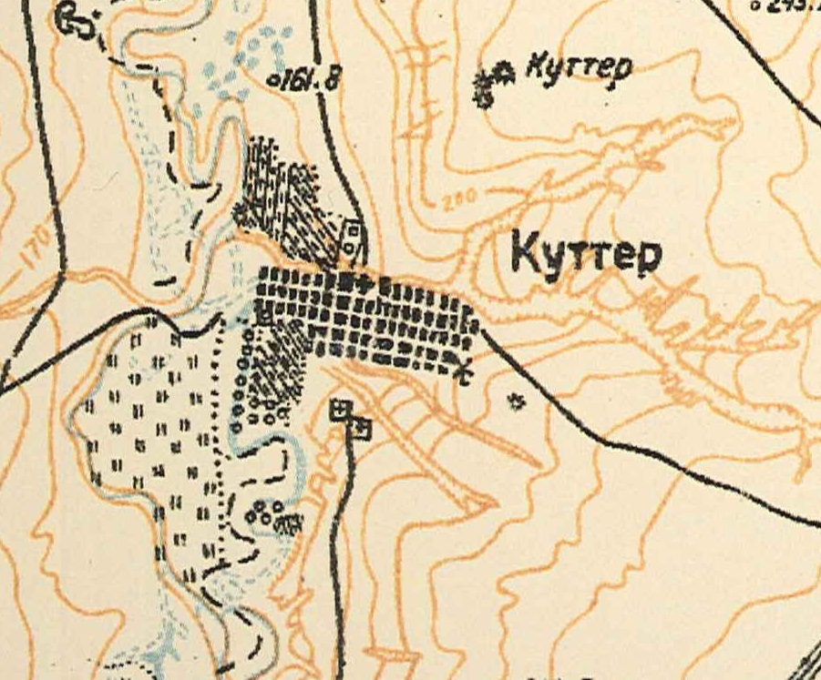
Map showing Kutter (1935).

Reformed Church of Kutter.
Enhancements by John Buttler.
Source: Frances Nelson via Leandro Hildt.